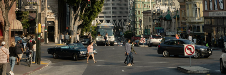
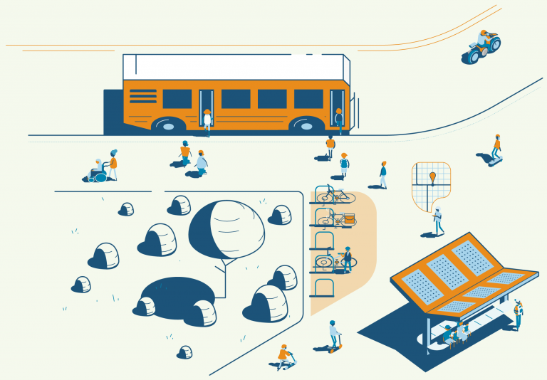
Like most of the US, California grapples with road safety. With ever larger cars clogging busy urban roads California seeks innovative solutions to curb traffic crashes and reduce congestion.
Among many efforts to improve the road network and our behavior, significant opportunities might be found in the application of artificial intelligence (AI) to these problems. By utilizing AI's capabilities to analyze road networks, dangerous driving behavior, and other crucial factors, we might be on the brink of a revolution in road safety practices.
We are excited to announce the launch of the LA Metro Owl Service Map – a new transit map showcasing bus services that operate between 12-4 AM. This product informs commuters who depend on public transit during late night hours.
The Owl Map demonstrates Metro's commitment to continuously improve access to reliable, 24/7 public transit options. DCR collaborated with Metro's Service Planning division to conceive this newest member of the Metro transit map product suite.
Below is a glimpse into how this map was brought to life.
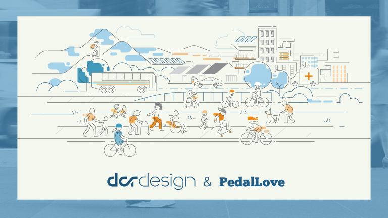
Between 2019 and 2022, the number of pedestrian fatalities increased nearly 20%, as reported in detail by Governors Highway Safety Association in their new Pedestrian Traffic Fatalities report. There were over 7,500 pedestrian fatalities in 2022, which is the highest number since 1981. Unless we take action to improve and implement new safety infrastructure, this devastating trend is projected to continue. This is one of the many reasons that the Safe Streets for All grant program is a big deal.
In collaboration with PedalLove we have updated our white paper about the Safe Streets for All Grant program. Developing a meaningful and robust safety plan is the first step in this program and, based on our experience, we suggest how to go about this process.
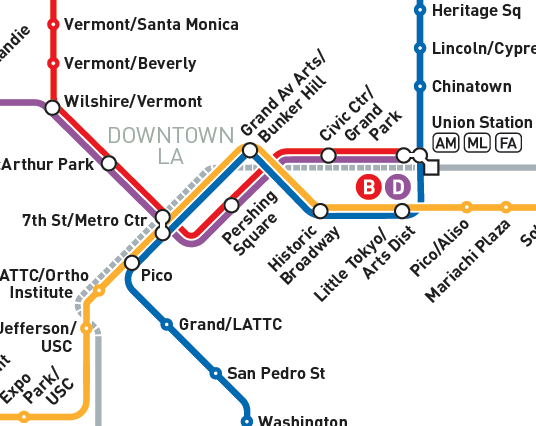
DCR has collaborated with LA Metro over the past few months to re-design and update the majority of its customer-facing maps, triggered by Regional Connector, a significant new enhancement to the Metro Rail network. The Regional Connector is a nearly 2 mile long underground rail project that adds three new stations to the Metro network and increases the rail connections between Union Station and 7th Street/Metro Center, the two Downtown LA transit hubs. This creates better opportunities for travelers, reducing transfers in Downtown LA and shortening journey times through the middle of LA.
Last week, DCR was honored to be invited to be part of a discussion between a Finnish Smart City business and research delegation and the City of LA, to talk about opportunities to decarbonize Los Angeles. The event took place at the Finnish Consulate in Los Angeles. Part of the aim of this event was to introduce Finnish solutions that decarbonize cities, focusing on energy, the electrification of transit, green construction and smart building management.
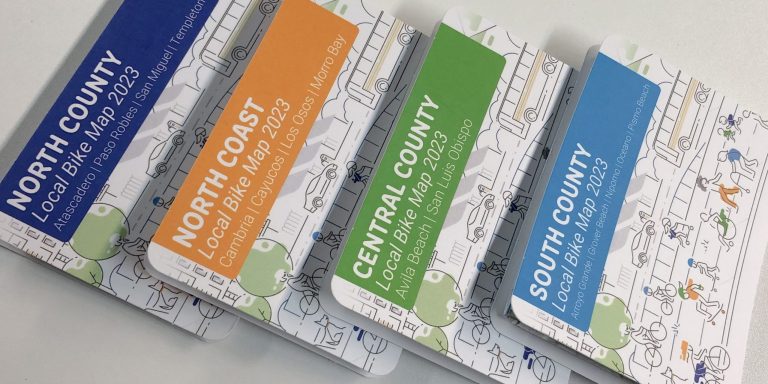
Last year, DCR worked with Rideshare to develop an online bike map web app. This tool is great for planning a local or regional bike trip, and learning more about the opportunities of biking in SLO County.
This spring, we continued our collaboration by designing and producing a set of durable, portable printed bike maps for SLO County.
Distracted driving is a problem that we are all aware of, but it is also notoriously difficult to quantify the scale of. This is due to the wide array of distractions that impact car drivers, which increasingly cost in terms of lost lives, property and serious injuries. More needs to be done by car and mobile phone manufacturers to restrict distractions while driving – promoting safety through software and hardware. For now though, we are left to self-discipline for the sake of public health: when we drive a car, we should do so with as few distractions as possible.
In the United States, more than half of all trips taken are less than five miles long (source FHWA, 2022). It makes sense that many short trips could easily be done via active transportation (like walking and biking) or public transportation. So why are cars such a large part of our culture? The short answer is that the car industry and car-related road infrastructure has been prioritized historically, while infrastructure supporting active and public transportation has not been – often making the latter inconvenient, inconsistently available and unsafe.
DCR was proud to sponsor, mentor and judge the 5th Annual Cal Poly San Luis Obispo Camp PolyHacks hackathon – which took place January 21-22, 2023 at the CIE Hothouse in Downtown SLO. Camp PolyHacks is a student-run, multidisciplinary hackathon dedicated to social entrepreneurship and human-centered design.
Teams are allotted 24 hours to design a creative solution to a theme issue. This year, one of the themes was about local transportation and infrastructure!
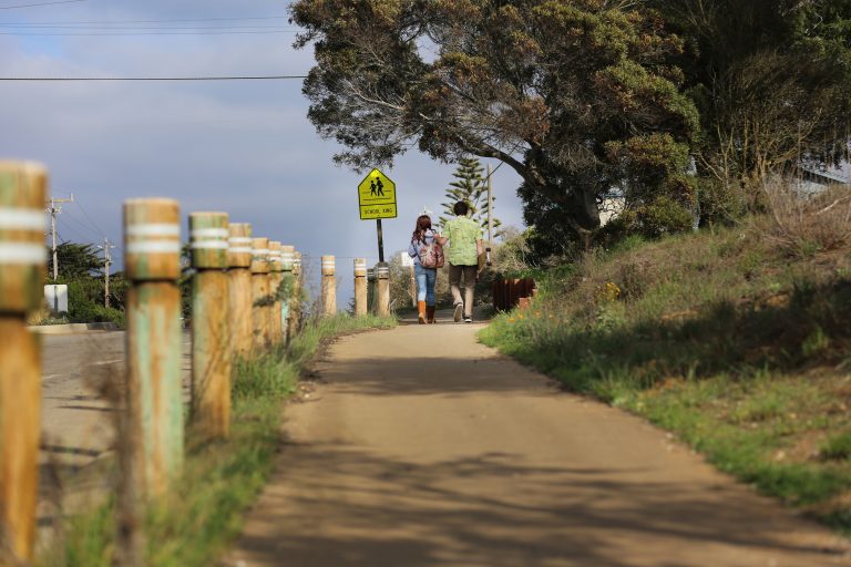
In 2020 there were 6,516 pedestrians killed due to motor traffic in the United States. That equates to 18 pedestrians every day or 125 pedestrians every week. Why does this happen? Walking isn't an inherently dangerous activity – but walking in an environment that's built primarily for cars is. Recognizing this serious problem is not difficult, but reversing trends and creating safer walking and biking environments requires re-designing our streets so everyone feels safe, regardless of their mode of transportation.