
Can AI Transform Road Safety in California?
Imagining the future of data analytics and transportation planning
We need new solutions
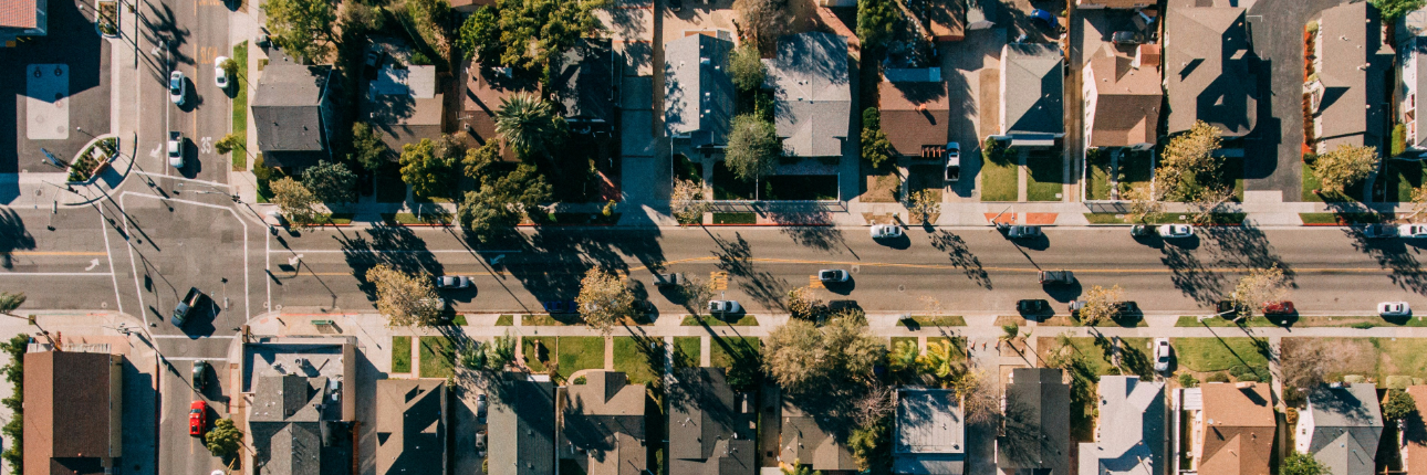
Like many other states, California grapples with a pressing challenge: road safety. With busy highways and dense metropolitan populations, California seeks innovative solutions to curb traffic crashes and reduce congestion.
Among many efforts to change our infrastructure and behavior, significant improvements might lie in the application of artificial intelligence (AI) to this problem. By utilizing AI’s capabilities to analyze road networks, crash statistics, and other crucial factors, we could be on the brink of revolutionizing our road safety practices.
In this blog post, we briefly analyze just some of the ways in which AI can elevate our road safety, many of which have already been tested and adopted. The areas of potential impact that we will discuss are:
- Real-time hazard detection
- Predictive analytics for collision hotspots
- Virtual simulations for road design
- Smart traffic management
- Community engagement through AI platforms
Real-time hazard detection
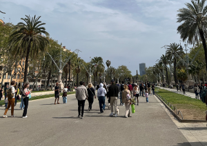
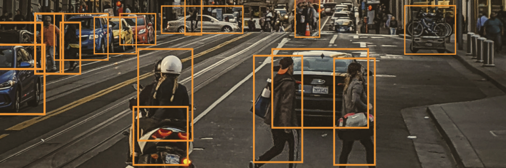
Our diverse landscapes bring a unique set of challenges, from coastal highways to mountainous terrain. AI algorithms can distill highly complex data from traffic cameras, weather sensors, and vehicle-to-infrastructure communication to detect hazards in real-time. For instance, the city of Barcelona employs AI-powered video analytics to monitor real-time road conditions. This system identifies objects on the road, alerts authorities about fallen debris or unsafe conditions, and enables swift response and remediation. Such systems can be expensive to implement, but with time, accessibility is expected to improve, especially for smaller municipalities and traffic authorities.
Predictive analytics for collision hotspots
Typically in city planning, the traffic analysis used to support infrastructure projects is backward-looking – relying on crash statistics that can be several years old as proof for infrastructure improvement and development. Our journey to safer roads includes identifying collision-prone areas and taking proactive measures. Academic studies and machine-learning developers have already begun to showcase high-resolution, high-accuracy tools for this sort of collision prediction. Several California cities who have embraced the “Vision Zero” initiative are employing AI to identify high-risk locations and allocate resources accordingly. The ultimate goal of Vision Zero is to eradicate traffic fatalities and severe injuries on our streets. It is a holistic approach to road safety that aims to eliminate loss of life and serious injuries from traffic crashes altogether.
Virtual simulations for road design
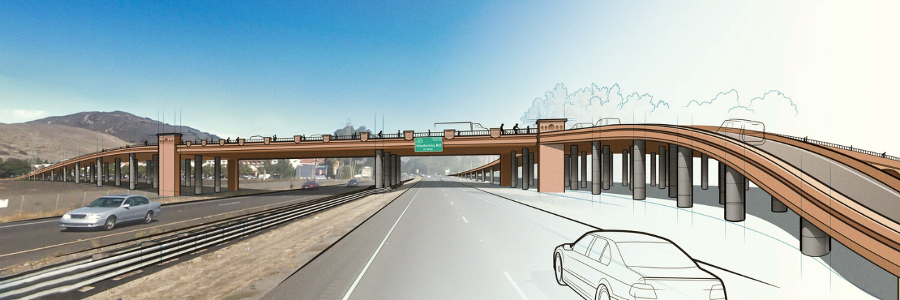
As we edge towards the era of autonomous vehicles and transportation infrastructure which separates pedestrians and bicyclists from motorized vehicles, AI could play a vital role in identifying opportunities to develop safer road designs. Consider the University of Michigan’s Mcity, a test facility that employs virtual simulations to evaluate road infrastructure and autonomous vehicle interactions. This approach allows researchers and planners to pinpoint potential safety issues and make necessary adjustments before implementing new road designs, ensuring our roads are built with the safety of all users in mind.
Smart traffic management
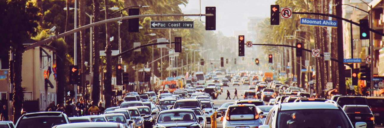
AI-powered traffic management systems hold the potential to reduce congestion by altering traffic signal times in real-time. Take, for example, the city of Pittsburgh, which has implemented an AI-based traffic control system known as Surtrac. By leveraging real-time data from cameras and sensors, Surtrac dynamically adjusts traffic signal timings. The result? Up to 25% reduction in travel time and a 40% decrease in vehicle idling. Furthermore, by integrating carpool and bus-priority lanes into the traffic management ecosystem, cities can not only enhance the efficiency of public transportation but also further reduce congestion and environmental impact.

Community engagement through AI platforms
Empowering our communities to actively participate in shaping road safety measures is essential. AI-powered crowdsourcing apps enable residents to report road hazards, suggest safety improvements, and provide feedback to authorities. This collaborative approach fosters a sense of ownership and responsibility for road safety. Other tools can rapidly synthesize and analyze large amounts of community feedback, or enable more efficient and widespread community feedback in public planning processes. By using AI to contribute in this way to community engagement, California can better harness the collective wisdom of its diverse population to make its roads safer.
Our takeaways
Large language and machine-learning models shine at wrangling and interpreting enormous amounts of highly complex data, but it’s important to know how to use and present their results effectively. DCR Design is highly experienced in information design, data visualization, and geospatial mapping for transportation systems. Whether your agency needs to provide maps and tools of your transit system to the general public, present the results of safety analyses or multimodal planning exercises to decision-making bodies, or bring cohesive design and storytelling to your planning documents, DCR Design offers decades of experience and creativity.
Artificial intelligence offers much in the way of new tools and methods to enhance our transportation systems and planning processes, potentially bringing Vision Zero within sight. DCR is excited to be part of this revolution.

Want to work with us? Feeling inspired?
Contact us at info@dcrdesign.net or checkout our social medias: LinkedIn, X and Instagram
For more information visit:
Vision Zero, Safe systems approach, NHTSA and FHWA