

Hit the Brakes: How Cities Around the World Are Slowing Down and Saving Lives
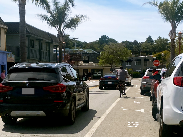
In cities around the globe, a quiet revolution is reshaping how we think about speed. It’s not about enforcing limits through tickets and signs. It’s about designing streets, transportation systems, and expectations that make slower, safer movement the default.