

Our services

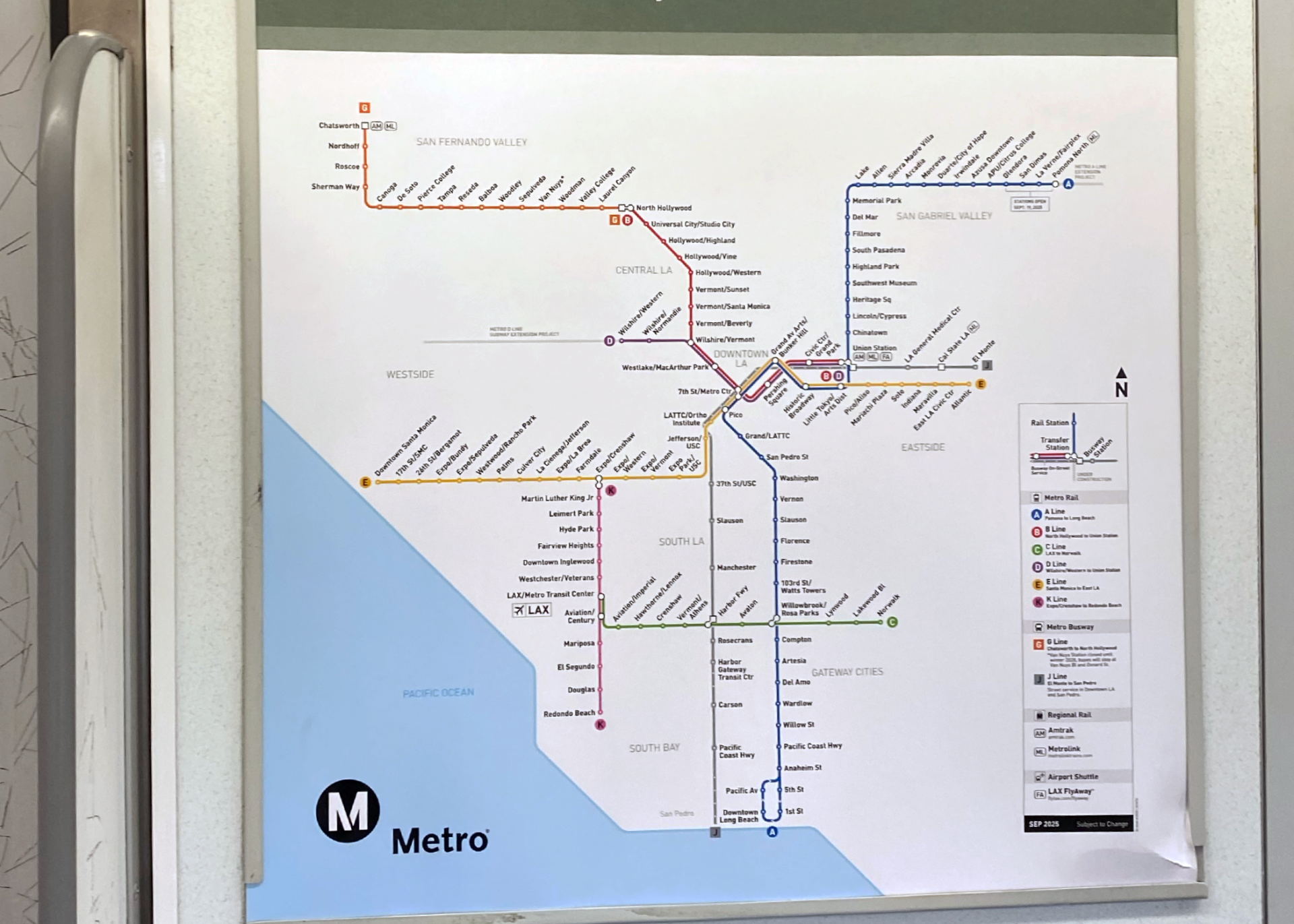
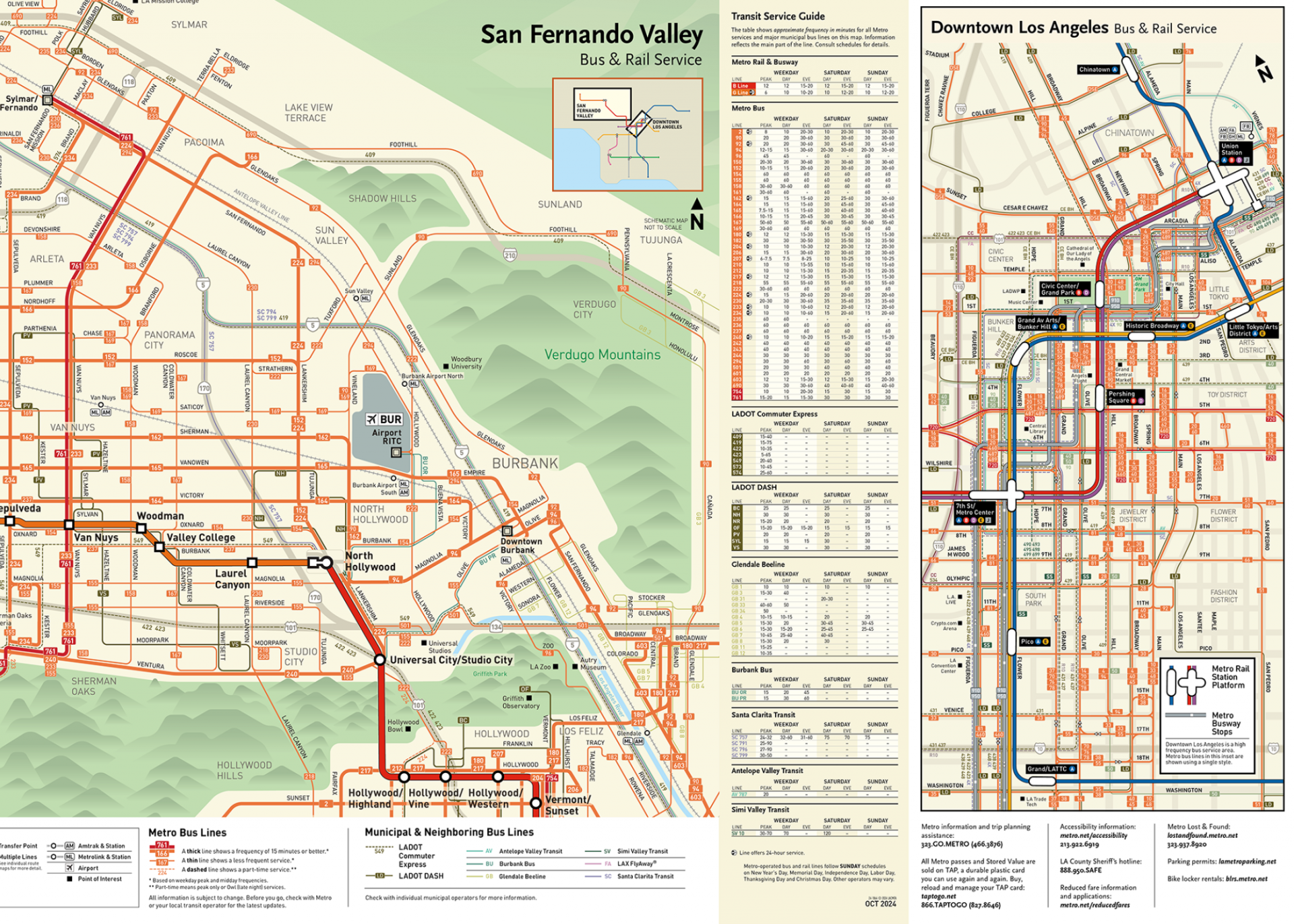
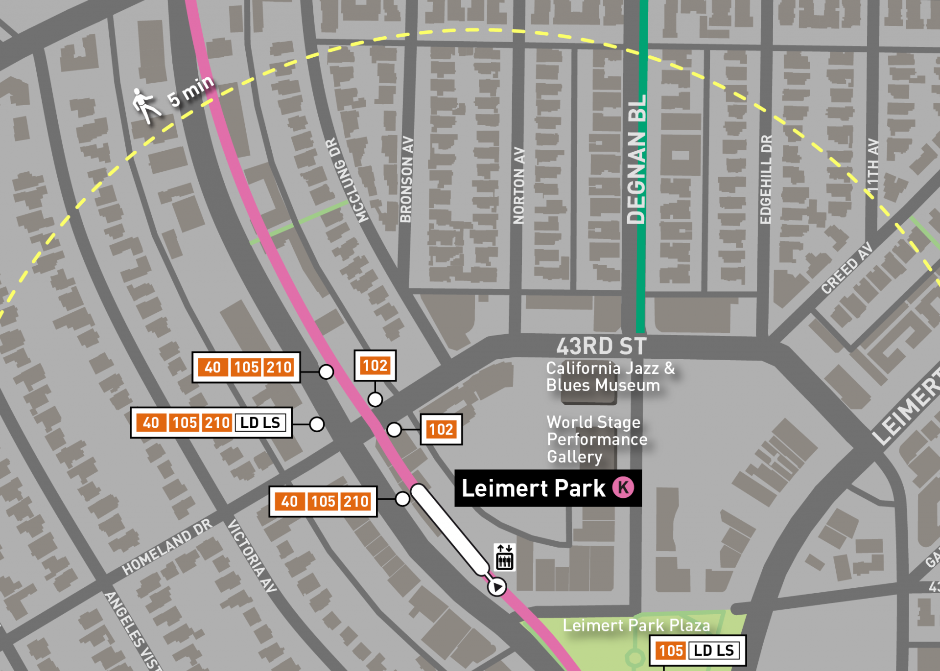
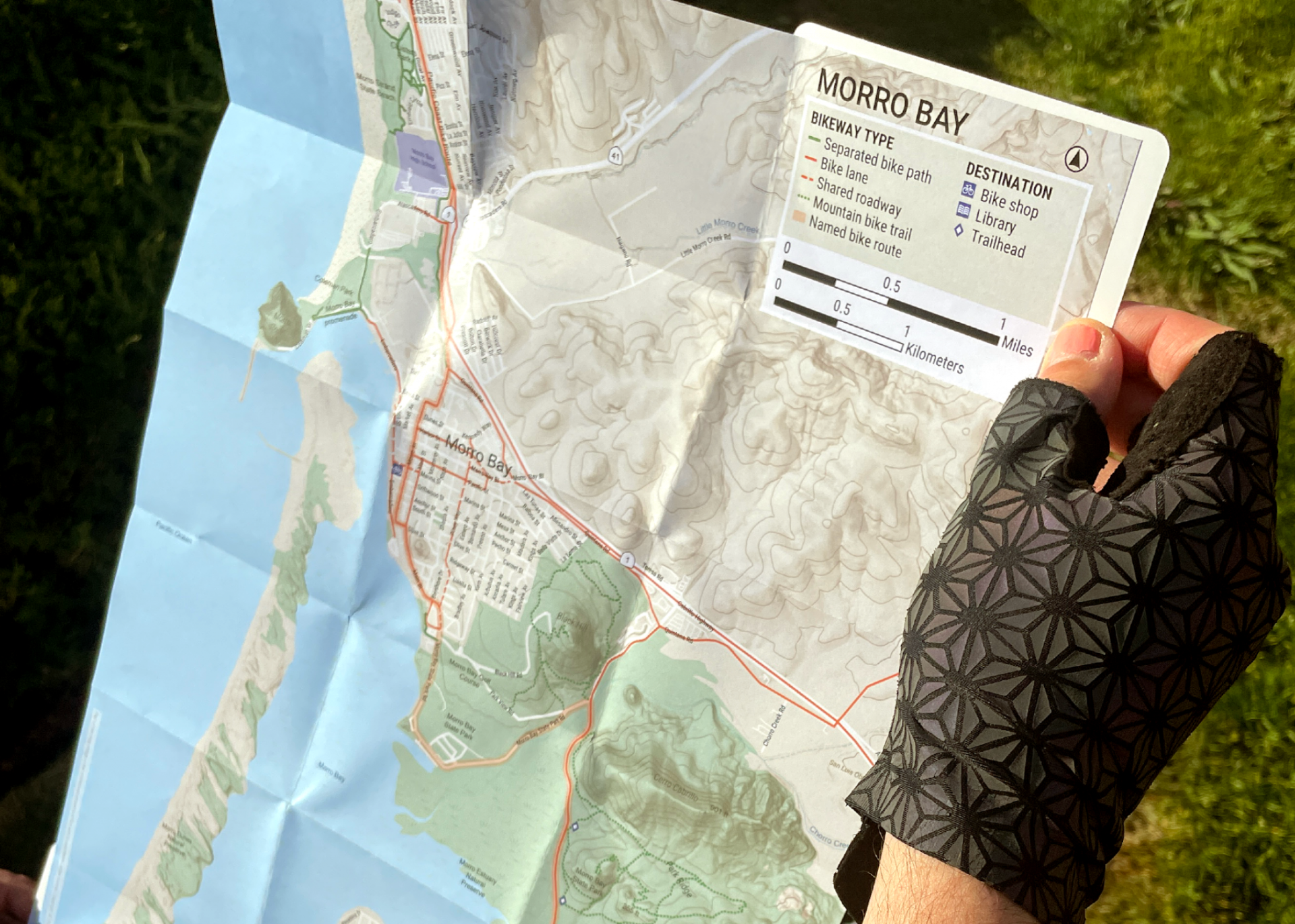
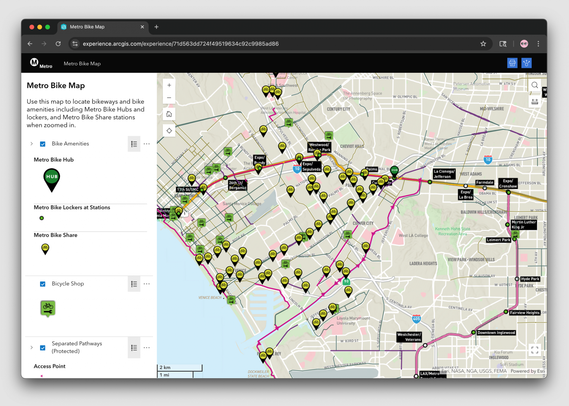
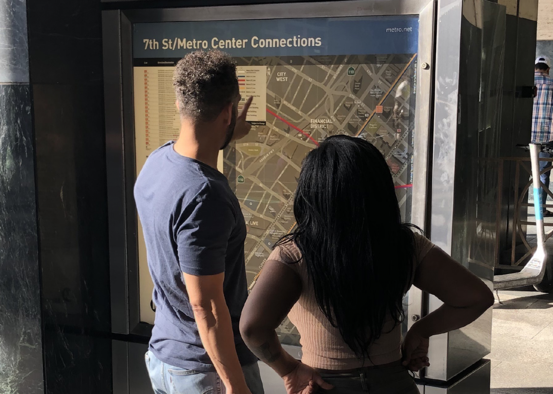
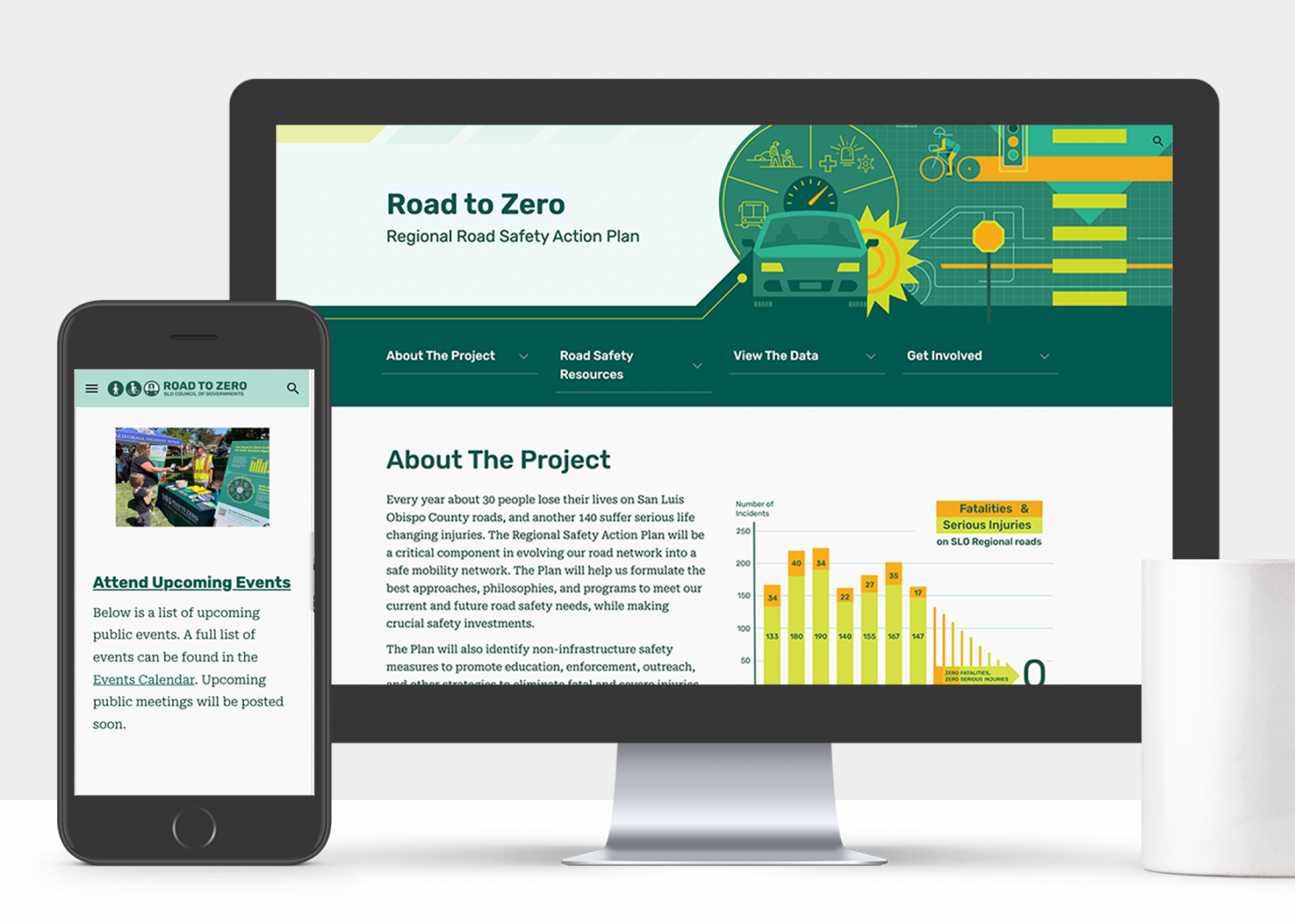
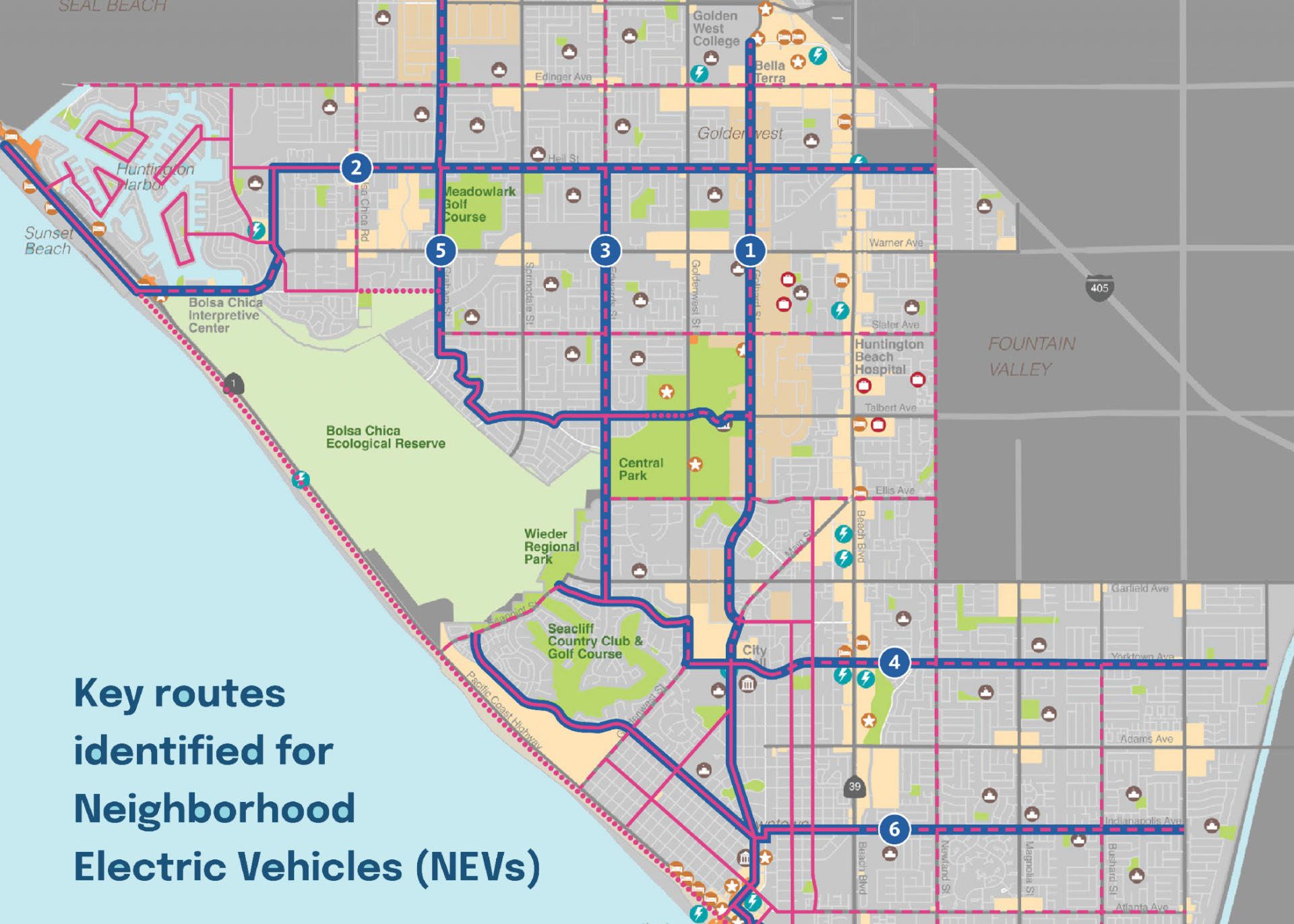
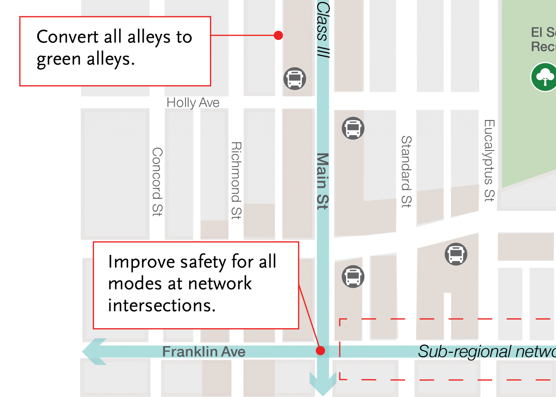
Mapping & data for transit & wayfinding
Expert graphic communication with a data-driven approach.
Contact us to work together.

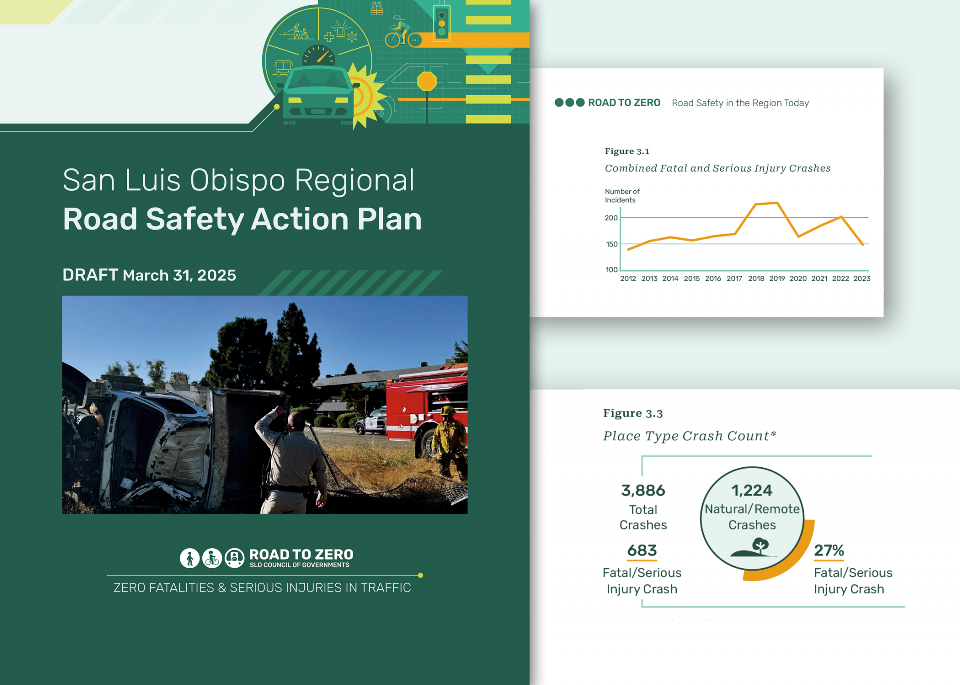
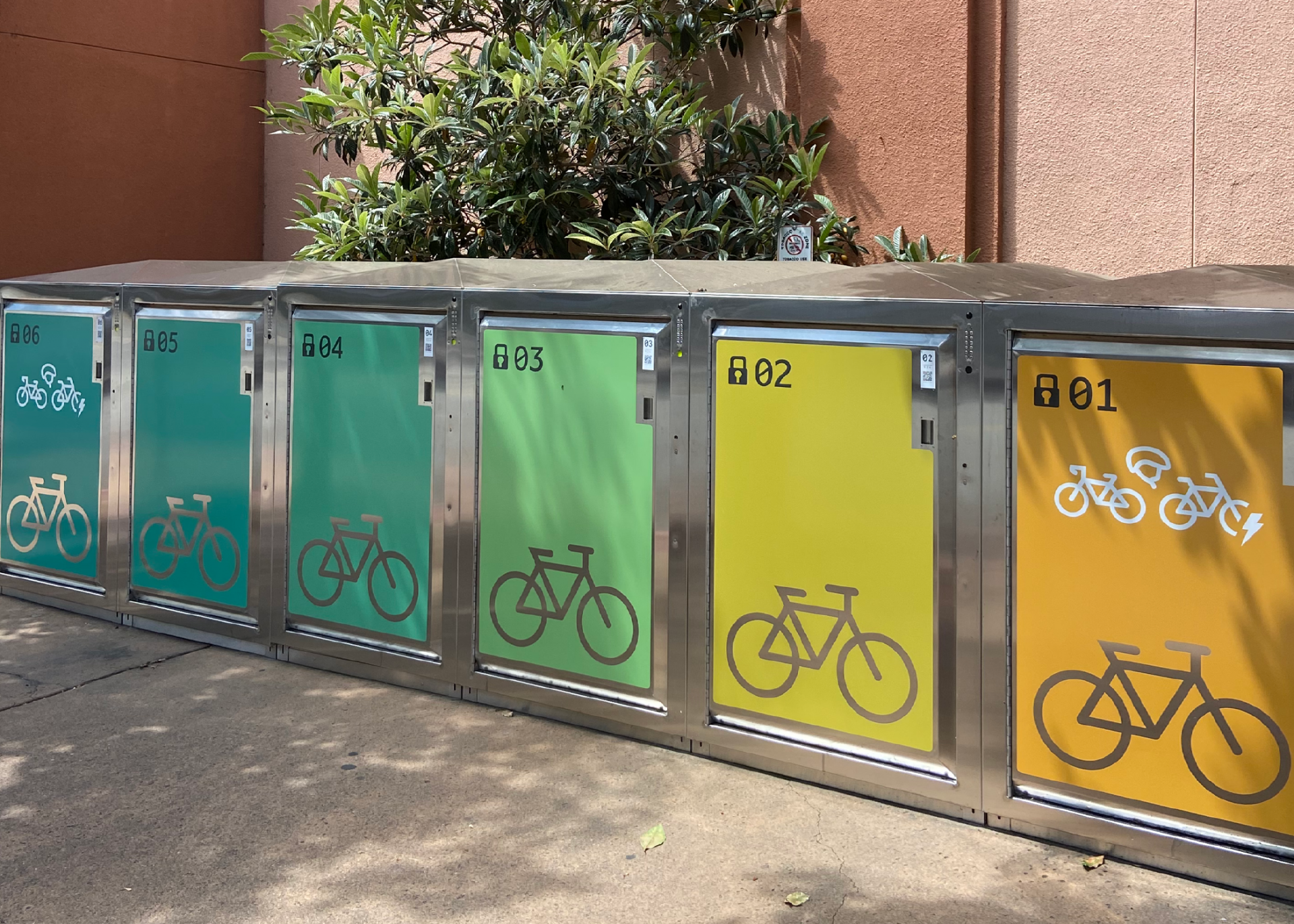
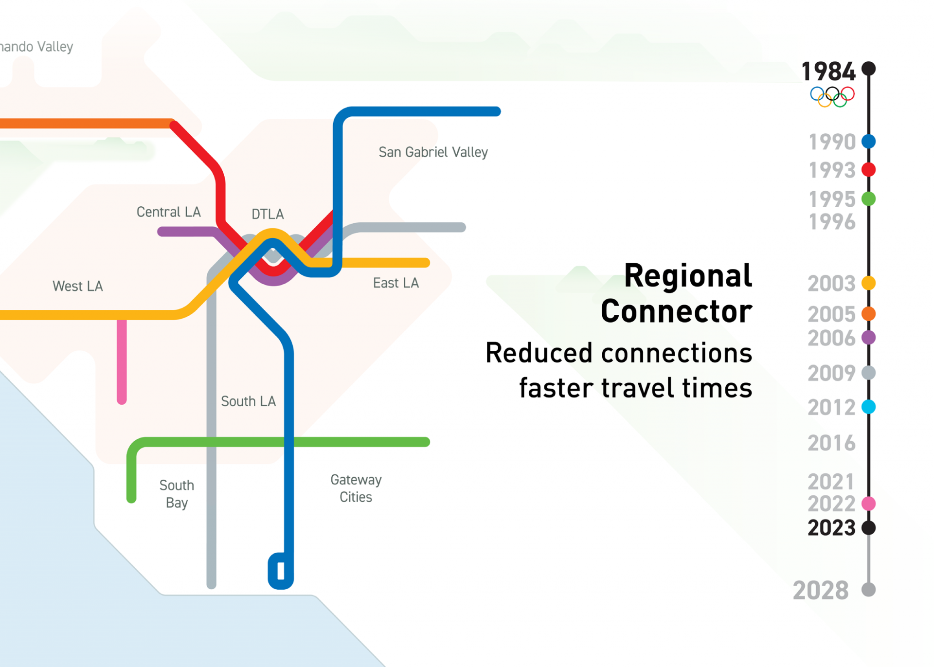
Information design & data visualization
Accessible, inclusive, and cohesive families of information for both print and web.
Contact us to collaborate on your design needs.


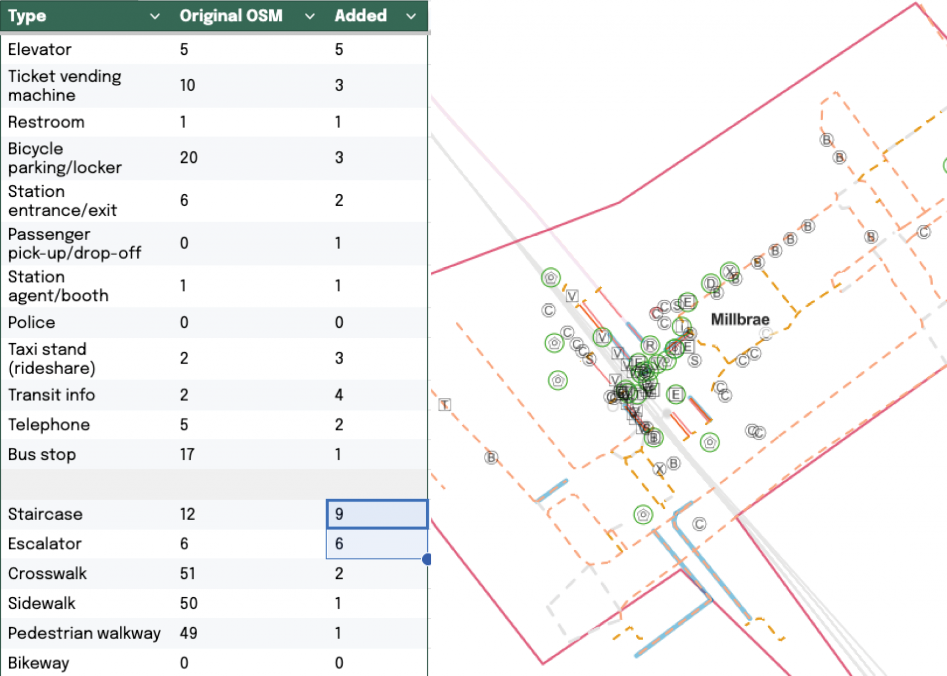
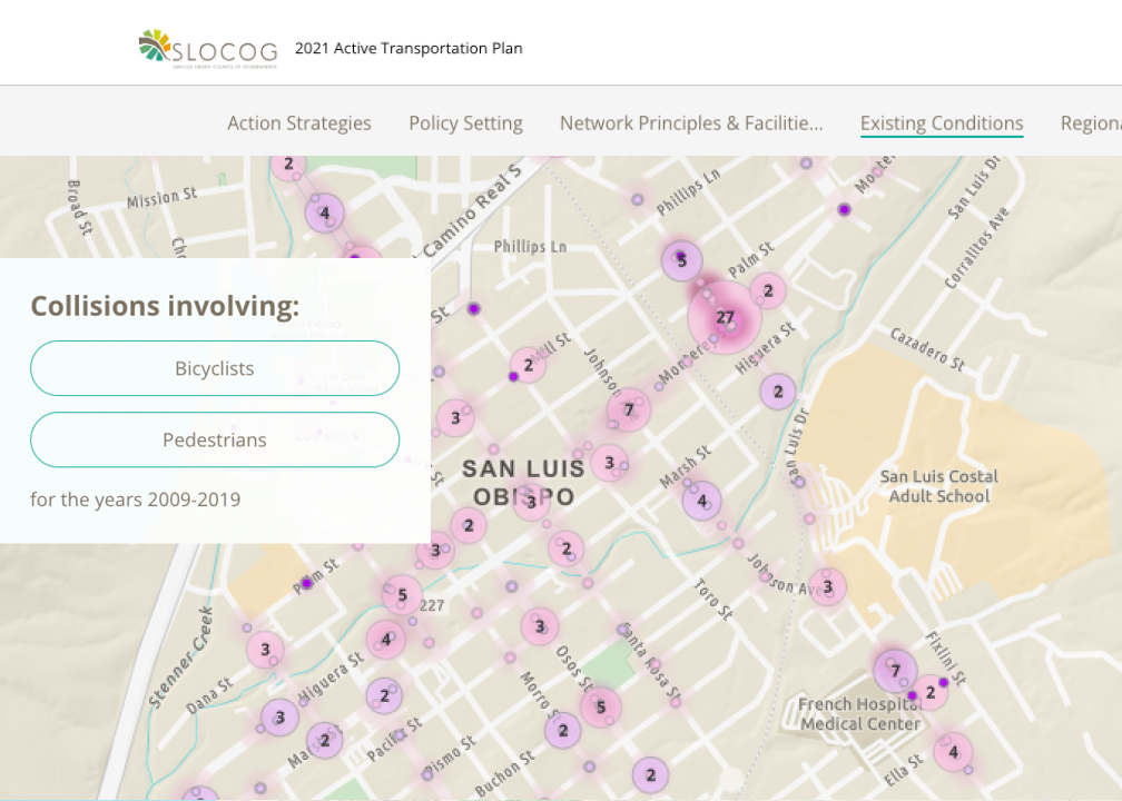
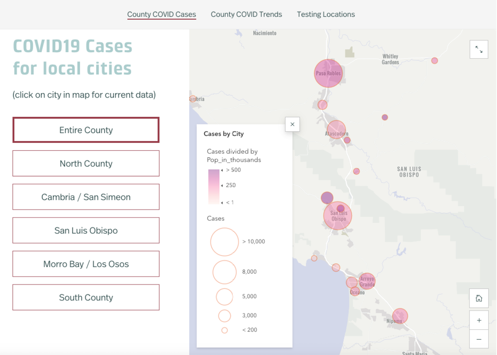
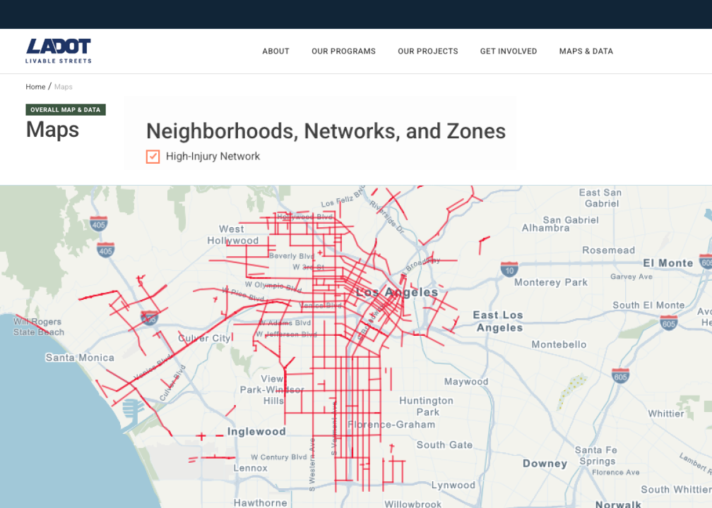
Geospatial analytics
Gather, analyze and design geographic data using web based mapping software.
Contact us to discover unique solutions.
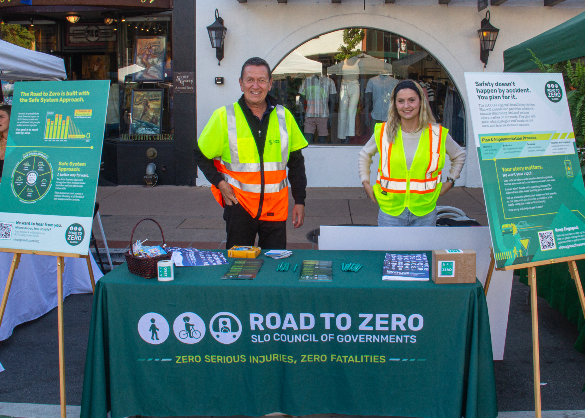
Recent clients
LA Metro, Los Angeles Department of Transportation (LADOT), SLO Rideshare, San Luis Obispo Council of Governments (SLOCOG), Sacramento Regional Transit, Bay Area Metropolitan Transportation Commission (MTC)