Blog
From time to time we write about our thoughts and experiences, related to our work & interests. Categorized by subject, there are a variety of posts to read.
If you are interested in receiving a one minute summary of our posts every three months, sign up for the DCR Round Up quarterly newsletter.
Blog posts
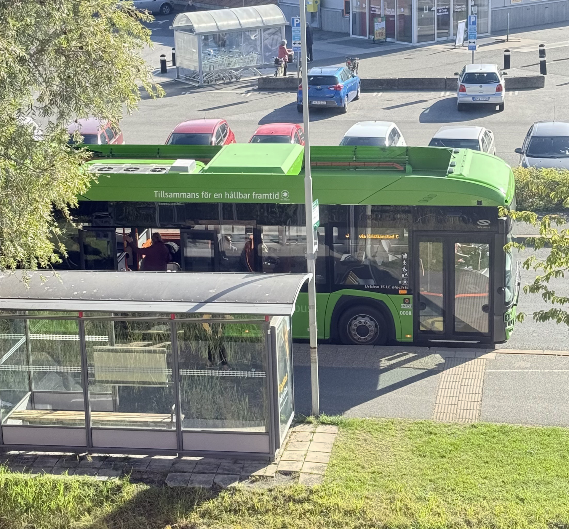
Year of the bus
2026 – the Year of the Bus
Date
3 days ago
Reading Time
6 Mins Read
Year of the bus Let’s make 2026 a breakout year for bus transit! With the right mix of service upgrades, stop-area improvements, and smart pricing and outreach, agencies can…
Teens taking public transit
National Teen Driver Safety Week: Time to Rethink the Driving Age
Date
4 months ago
Reading Time
3 Mins Read
National Teen Driver Safety Week: Time to rethink the driving age It’s National Teen Driver Safety Week, and time to have an honest conversation: 16 is too young to…
Pedestrian safety involves everyone
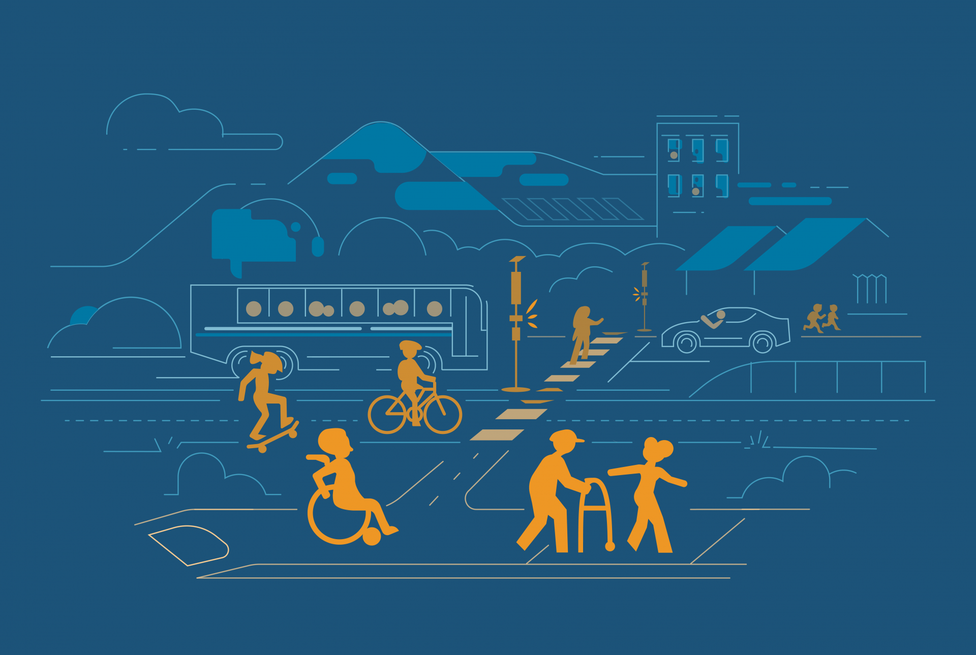
Pedestrian Safety Month: Safer Streets Start With Us
Date
4 months ago
Reading Time
3 Mins Read
Pedestrian Safety Month: Safer streets start with us October is National Pedestrian Safety Month, a time to highlight a simple fact: walking should never come with risk. Whether it’s…
back to school
Back to school: an opportunity to make transportation more sustainable
Date
6 months ago
Reading Time
3 Mins Read
Back to school: an opportunity to make transportation more sustainable As the school year begins, the daily rhythms of our streets shift and become more active. What felt like…
Parks, people, and public transit: July’s reminder to rethink transit and bring people together. Creating safe, comfortable, and connected spaces
Date
7 months ago
Reading Time
4 Mins Read
Parks, people, and public transit July’s reminder to rethink transit and bring people together. July being Parks and Recreation Month, and World Population Day set for today, July 11,…
CA State Rail Plan
Signaling the Way for a Greener Future: California’s Rail Plan and the Path to Integrated Transit
Date
1 year ago
Reading Time
2 Mins Read
Signaling the Way for a Greener Future California’s Rail Plan and the Path to Integrated Transit California is reaching an exciting milestone with the release of its updated State…
FeatureImage_Olypics2028_v3
Can LA Deliver a Transit-First Olympics in 2028?
Date
1 year ago
Reading Time
3 Mins Read
As Los Angeles prepares to host the 2028 Summer Olympics, City leaders are talking about a car-free (or transit-first) experience, drawing lessons from Paris, who just held the 2024…
FeatureImage
Week without driving
Date
1 year ago
Reading Time
3 Mins Read
Imagine a week where we all choose transportation alternatives to driving our own cars solo: walking, biking, using public transit, or ride sharing. Sure, there may be some downsides…
img_8844_2
Prioritizing Safety During the Back-to-School Season
Date
1 year ago
Reading Time
2 Mins Read
Prioritizing Safety During the Back-to-School Season As the new school year kicks off, ensuring the safety of students walking, biking, or riding to school becomes an important focus. With…
Bus & Rail System Map
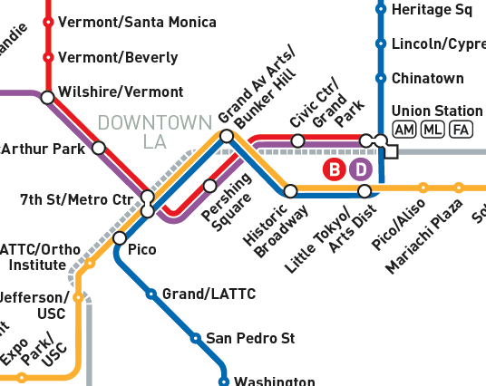
Riding Through Change: LA’s Post-COVID Transit Trends
Date
2 years ago
Reading Time
2 Mins Read
Riding Through Change: LA’s Post-COVID Transit Trends How LA Metro increased productivity and efficiency during a decline in ridership In the aftermath of the COVID-19 pandemic, public transit systems…
Urban tree-canopy
Keeping Cool: The Power of Urban Trees
Date
2 years ago
Reading Time
3 Mins Read
As average temperatures in many US cities continue to climb and debilitating heat events become more frequent, the importance of green spaces and shade in urban environments has become…
LA-skyline
Unveiling the LA Metro Owl Service System Map
Date
2 years ago
Reading Time
2 Mins Read
We are excited to announce the launch of the LA Metro Owl Service Map – a new transit map showcasing bus services that operate between 12-4 AM. This product informs…
GoMetro-Regional-Connector
LA Metro’s Regional Connector
Date
3 years ago
Reading Time
2 Mins Read
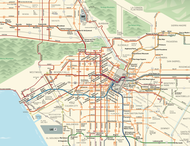
DCR has collaborated with LA Metro over the past few months to re-design and update the majority of its customer-facing maps, triggered by Regional Connector, a significant new enhancement…
Rideshare-SLO-County-Bike-Maps
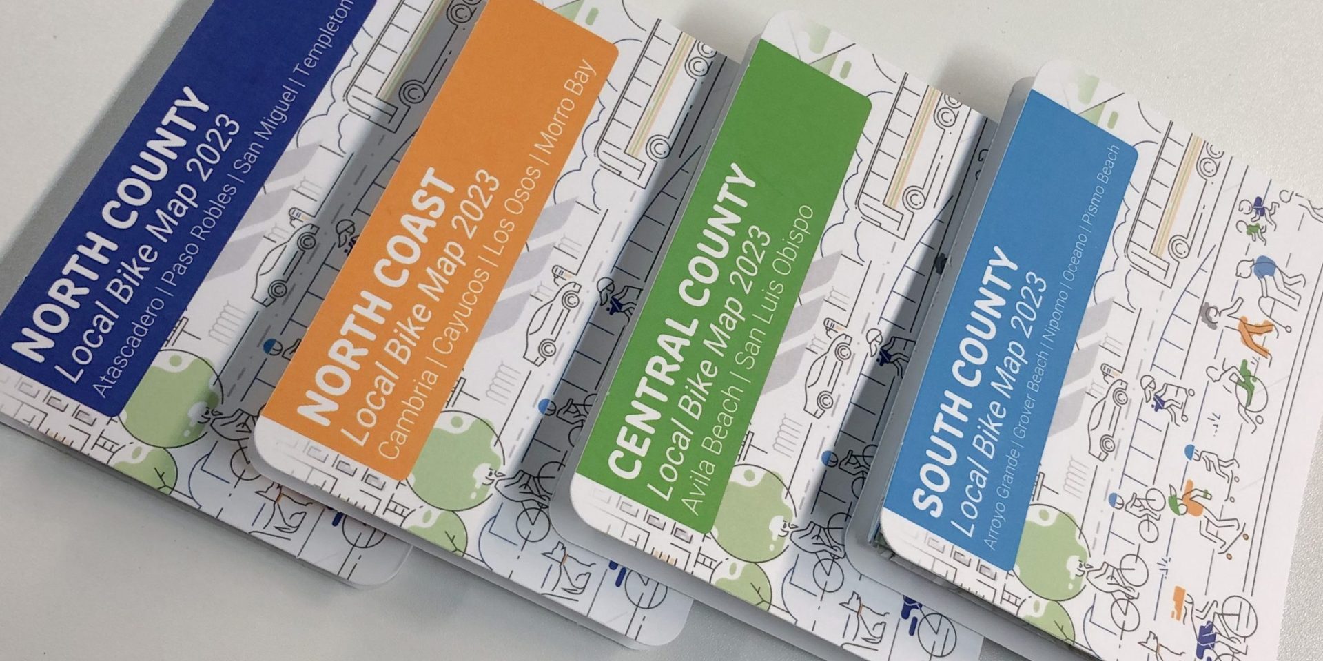
Discover the Joy of Cycling this May
Date
3 years ago
Reading Time
2 Mins Read
Last year, DCR worked with Rideshare to develop an online bike map web app. This tool is great for planning a local or regional bike trip, and learning more…
Distracted-V2.2
Distracted? Then Please Don’t Drive
Date
3 years ago
Reading Time
3 Mins Read
Distracted driving is a problem that we are all aware of, but it is also notoriously difficult to quantify the scale of. This is due to the wide array…
hackathon
Innovation through Collaboration: Interdisciplinary Hackathon
Date
3 years ago
Reading Time
2 Mins Read
DCR was proud to sponsor, mentor and judge the 5th Annual Cal Poly San Luis Obispo Camp PolyHacks hackathon – which took place January 21-22, 2023 at the CIE…
station-mlk
The Metro K Line is open!
Date
3 years ago
Reading Time
2 Mins Read
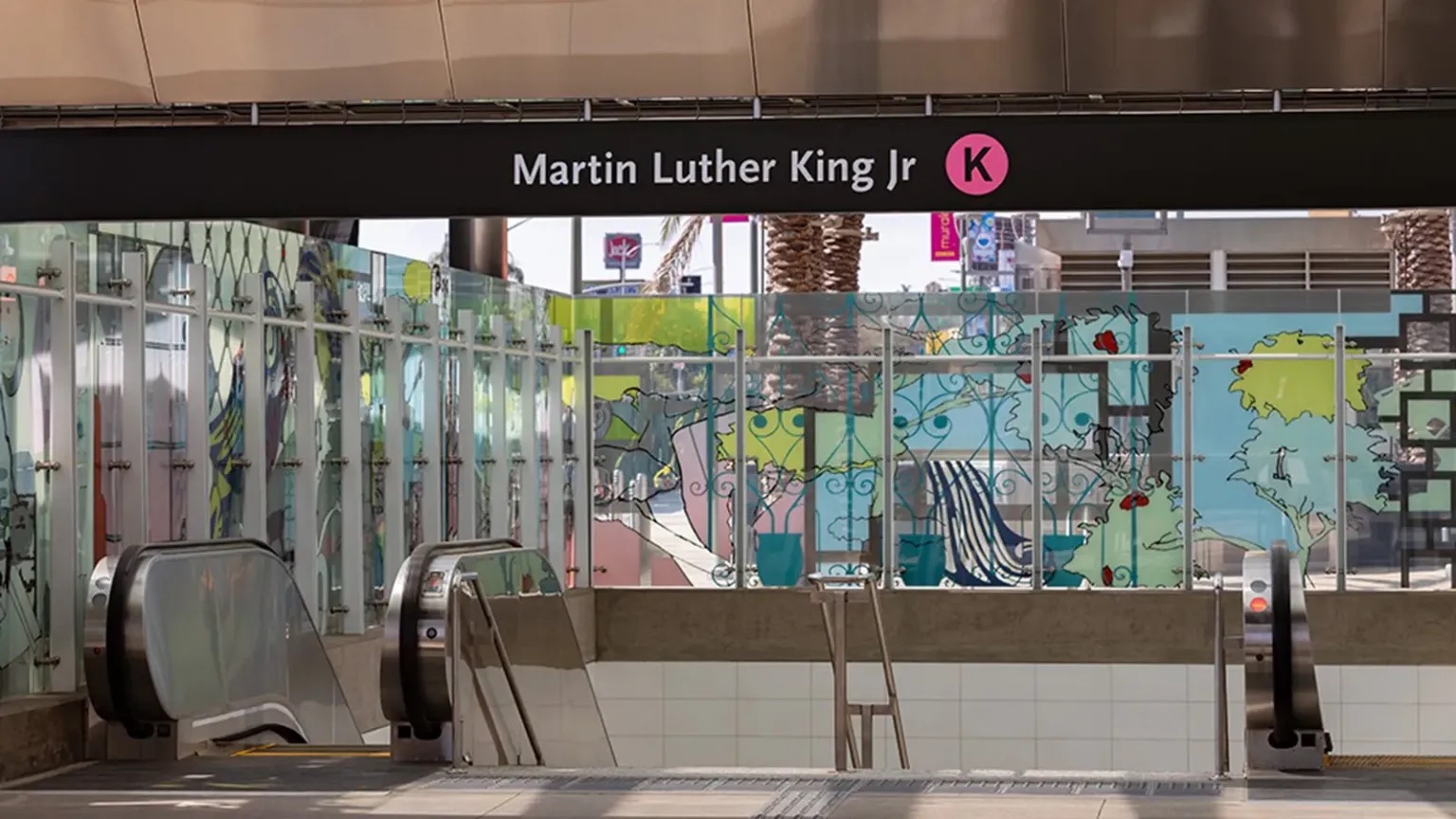
DCR has been busy working on a range of maps for the opening of the new LA Metro K Line. This involved creating new station maps as well as…
Portion of System Overview – DCR Design
Find DCR in the ESRI Gallery
Date
4 years ago
Reading Time
< 1 Min Read
Every year ESRI collects a wide range of mapping products made by users all over the world and displays them in an online map gallery together with a printed…


